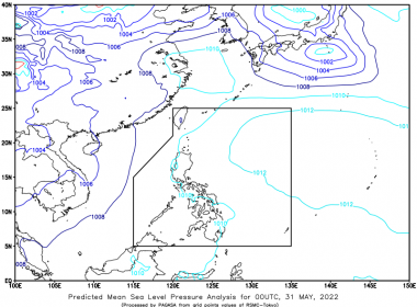
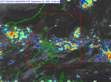
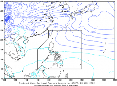
Mindanao affected by ITCZ (Eagle News) — The easterlies are affecting the eastern sections of Luzon and Visayas. According to the Philippine Atmospheric Geophysical and Astronomical Services Administration, the Intertropical Convergence Zone (ITCZ) is also affecting Mindanao. As a result, Bicol Region, Isabela, Aurora, and Quezon will have cloudy skies with scattered rain showers and thunderstorms. Flash floods or landslides due to scattered light to moderate to at times heavy rains are possible. Metro Manila […]
Weather Forecast
ITCZ affecting Southern Mindanao: PAGASA
(Eagle News) — The Intertropical Convergence Zone is affecting Southern Mindanao. According to the Philippine Atmospheric Geophysical and Astronomical Services Administration, Metro Manila will have partly cloudy to cloudy skies with isolated rain showers or thunderstorms as a result. Meanwhile, a thunderstorm advisory has been raised over parts of Mindanao. PAGASA said light to moderate to occasionally heavy rain showers with lightning and strong winds are being experienced over portions of Basilan (Tabuan Lasa) and […]
ITCZ affecting Mindanao: PAGASA
(Eagle News) — The Intertropical Convergence Zone is affecting Mindanao. According to the Philippine Atmospheric Geophysical and Astronomical Services Administration, Metro Manila will have partly cloudy to cloudy skies with isolated rain showers or thunderstorms as a result. The weather bureau said the same conditions will prevail over the rest of the country. Meanwhile, a thunderstorm advisory has been raised over parts of Southern Luzon. PAGASA said moderate to at times heavy rain showers with […]
Southwest monsoon affecting western part of Central, Southern Luzon and Visayas: PAGASA
(Eagle News) — The southwest monsoon is affecting the western section of Central and Southern Luzon, and Visayas. According to the Philippine Atmospheric Geophysical and Astronomical Services Administration, Zambales, Bataan, Occidental Mindoro, Palawan, and Western Visayas, as a result, will have cloudy skies with scattered rain showers and thunderstorms. Flash floods or landslides due to moderate to at times heavy rains are possible. Metro Manila and the rest of the country, meanwhile, will have partly […]
“Karding” develops into tropical depression
Heavy rains over Northern, Central Luzon possible starting Saturday: PAGASA (Eagle News) — “Karding” has developed into a tropical depression. According to the Philippine Atmospheric Geophysical and Astronomical Services Administration, the passage of “Karding” may bring heavy rains over Northern and Central Luzon beginning late Saturday. “Under these conditions, isolated to scattered flooding (including flash floods) and rain-induced landslides are possible especially in areas that are highly or very highly susceptible to these hazards as […]
PAGASA monitoring tropical depression outside PAR
(Eagle News)–The Philippine Atmospheric Geophysical and Astronomical Services Administration is monitoring a tropical depression outside the Philippine Area of Responsibility. According to PAGASA, the tropical depression was so far located 1915 kilometers east of extreme Northern Luzon. It is packing maximum sustained winds of up to 45 kph. The low pressure area PAGASA earlier said it was monitoring is so far located 1200 km east of Central Luzon. Meanwhile, the southwest monsoon is affecting the […]
PAGASA monitoring LPA off Central Luzon
(Eagle News) — The Philippine Atmospheric Geophysical and Astronomical Services Administration is monitoring a low pressure area off Luzon. According to PAGASA, the LPA was so far located 1,015 km east of the central part of the main island. Meanwhile, the southwest monsoon and localized thunderstorms are affecting Mindanao. PAGASA said Mindanao will have partly cloudy to cloudy skies with isolated rain showers or thunderstorms. Light to moderate with occasional heavy rains, meanwhile, are affecting […]
#WalangPasok: Class cancellations for Tuesday, Sept. 20
(Eagle News) — Classes on Tuesday, Sept. 20, were suspended due to the heavy rains brought about by the southwest monsoon. Caloocan City — all levels, public and private schools Las Piñas — all levels, public and private schools Malabon City — all levels, public and private schools (afternoon classes) Marikina City — all levels, public and private schools (afternoon classes) Navotas City — all levels, public and private schools (afternoon classes) Parañaque City — […]
PAGASA: Southwest monsoon affecting Central and Southern Luzon, Western Visayas
(Eagle News) — The southwest monsoon is affecting Central and Southern Luzon, and the western section of Visayas. According to the Philippine Atmospheric Geophysical and Astronomical Services Administration, as a result, Metro Manila, Ilocos Region, Central Luzon, CALABARZON, MIMAROPA, Bicol Region, and Western Visayas will have cloudy skies with scattered rain showers and thunderstorms. Flash floods or landslides due to moderate to at times heavy rains are possible. The rest of the country, meanwhile, will […]
Thunderstorm advisory raised over parts of Mindanao
(Eagle News) — A thunderstorm advisory has been raised over parts of Mindanao. According to the Philippine Atmospheric Geophysical and Astronomical Services Administration, light to moderate to at times heavy rain showers with lightning and strong winds are affecting portions of Bukidnon (Sumilao), Lanao del Sur (Bubong, Maguing, Mulondo, Lumba-Bayabao), Misamis Occidental (Sapang Dalaga, Calamba, Concepcion, Don Victoriano Chiongbian, Jimenez), and Zamboanga del Norte (Salug, Gutalac). The same conditions are affecting Zamboanga del Sur (Dumingag, […]
PAGASA: Southwest monsoon affecting western sections of Southern, Central Luzon
(Eagle News) — The southwest monsoon is affecting the western sections of Southern and Central Luzon. According to the Philippine Atmospheric Geophysical and Astronomical Services Administration, as a result, partly cloudy to cloudy skies with isolated rain showers or thunderstorms are expected over Bicol Region, Northern Samar, Oriental Mindoro, Marinduque and Romblon. Meanwhile, PAGASA said localized thunderstorms are affecting Northern Luzon. The weather bureau said partly cloudy to cloudy skies with isolated rain showers or […]
Southwest monsoon affecting western sections of Southern Luzon, Visayas: PAGASA
(Eagle News) — The southwest monsoon is affecting the western sections of Southern Luzon and Visayas. According to the Philippine Atmospheric Geophysical and Astronomical Services Administration, Palawan, Occidental Mindoro, Romblon, Aklan, Antique, and Negros Occidental, as a result, will have cloudy skies with scattered rain showers and thunderstorms. Flash floods or landslides due to moderate to at times heavy rains are possible. Metro Manila and the rest of the country, meanwhile, will have partly cloudy […]


