


(Eagle News) — The country’s weather bureau, PAGASA, said tropical storm Nina (international name Nock-Ten) is expected to make landfall on Sunday, at around 5 p.m. or 8 p.m., over the Bicol region, and is going to affect Southern Luzon and Metro Manila.
Nock-Ten is expected to be packing winds of up to 194 kilometres (120 miles) an hour and gusts of nearly 241 kilometers by Sunday, according to the US Joint Typhoon Warning Center.
But PAGASA predicts more modest wind speeds.
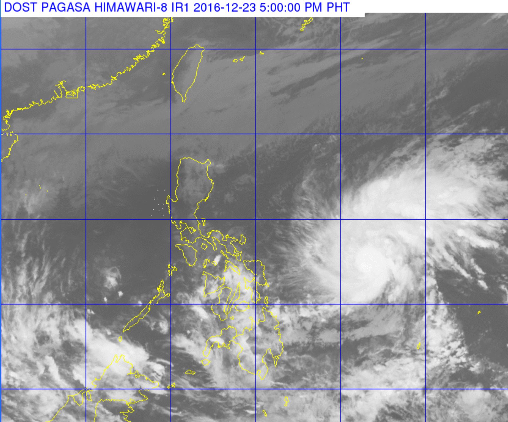
As of 4:00 pm Friday, “Nina” was estimated based on all available data at 700 km East of Borongan, Eastern Samar (12.2N, 131.8E) with maximum sustained winds of up to 105 kph near the center and gustiness of up to 130 kph.
It is forecast to move West Northwest at 20 kph.Northeast Monsoon affecting Northern Luzon.
PAGASA advised the public especially those who would be on the road or at sea, to make their trips earlier than Sunday so they could avoid the strong winds and rains brought by severe tropical storm Nina.
Cloudy skies with light to moderate rainshowers and thunderstorms will be experienced over the regions of Bicol, Eastern Visayas and Caraga. Cloudy skies with light rains and isolated thunderstorms is expected over the regions of Ilocos, Cordillera and Cagayan Valley. Partly cloudy to cloudy skies with isolated rainshowers or thunderstorms will prevail over Metro Manila and the rest of the country.
PAGASA said Nina will affect Camarines, Southern Luzon, particularly Quezon province and Rizal; and Metro Manila and Bulacan.
-Storm Nina to be out of PAR on December 28-
Storm Nina is expected to exit via the land mass of Bataan and Zambales. It is forecast to be out of the Philippine Area of Responsibility by Wednesday, December 28
If Nina turns into a typhoon by Sunday, it can cause storm surges along coastal areas, especially when it makes its landfall in Catanduanes, PAGASA said.
Romina Marasigan, spokeswoman for the National Disaster Risk Reduction and Management Council, said people are being made aware that Nina could hit the country on December 25, and as such the highest levels of preparedness are being undertaken, including stocking up designated evacuation centers with food and other provisions.
Millions of Filipinos are travelling by land, sea or air to their hometowns for the festive holiday.
Local weather authorities said the storm could brush past Manila after Sunday, December 25, if it maintained its current path.
The main threats were landslides and flash floods from heavy rains, as well as potentially large waves known as storm surges smashing through coastal communities, they said.
The Philippine islands are often the first major landmass to be hit by storms that generate over the Pacific. The Southeast Asian country endures about 20 major storms each year, many of them deadly.
(with a report from Agence France Presse)


