


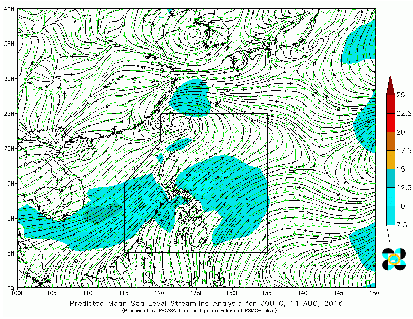
QUEZON City, Philippines — The country’s weather bureau said in its Thursday (August 11) forecast that the monsoon rains which may trigger flashfloods and landslides will be experienced over Metro Manila, Ilocos Region, Cordillera Administrative Region (CAR), CALABARZON, MIMAROPA and the provinces of Zambales and Bataan.
The Philippine Athmospheric Geophysical and Astronomical Services Administration said that cloudy skies with light to moderate rains and thunderstorms will prevail over Western Visayas and the rest of Luzon.
Partly cloudy to cloudy skies with isolated rainshowers or thunderstorms is expected over the rest of the country.
Elsewhere, moderate to strong winds blowing from the southwest will prevail throughout the archipelago and the coastal waters will be moderate to rough.
Meanwhile at 4:00 AM today, the Low Pressure Area (LPA) was estimated based on all available data at 400 km North Northeast of Itbayat, Batanes (24.2°N, 122.9°E). Southwest Monsoon affecting Luzon and Western Visayas.
Fishing boats and other small seacrafts are advised not to venture out into the sea while larger sea vessels are alerted against big waves.


