


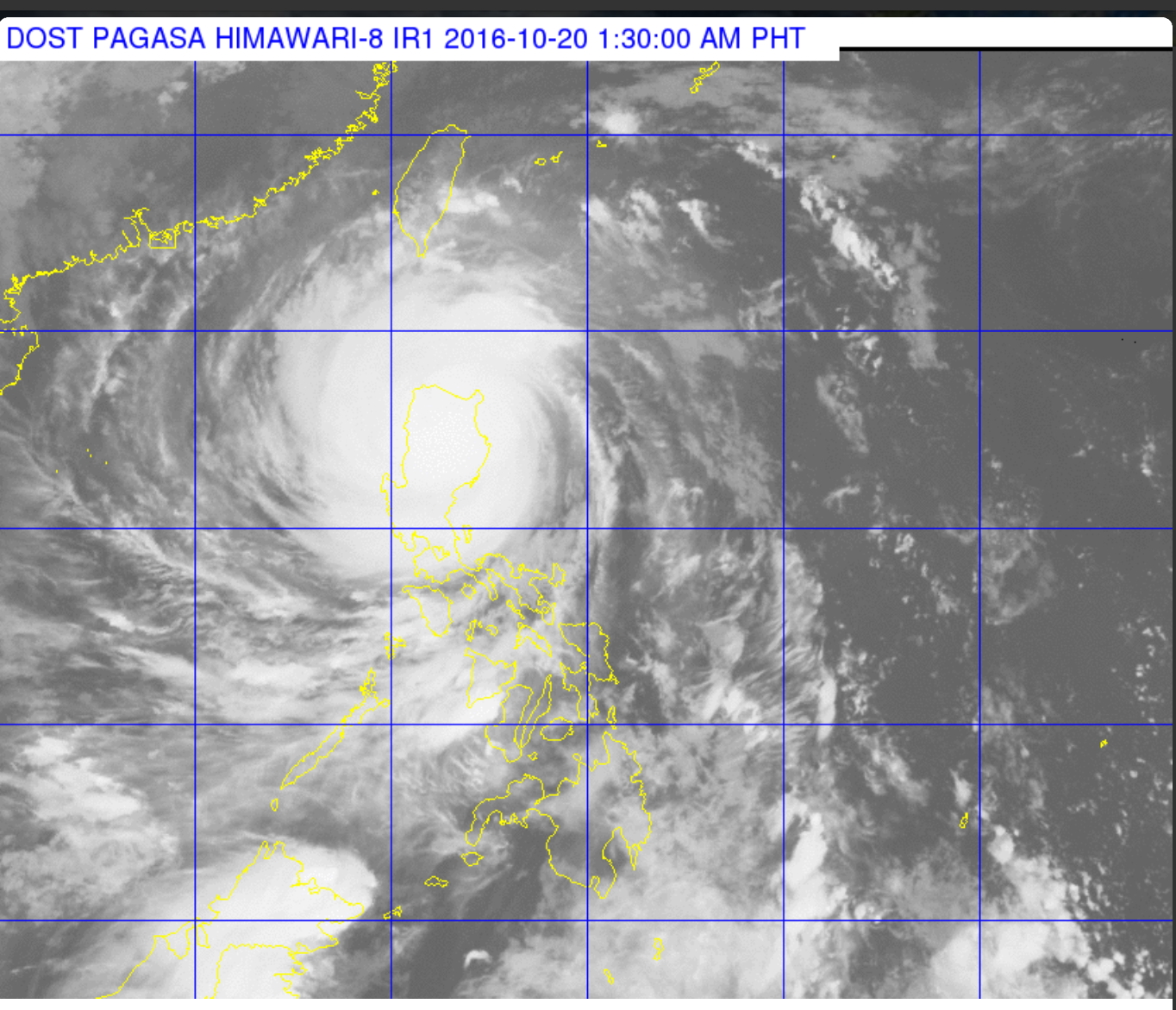
(Eagle News) — Packing maximum sustained winds of 225 kilometers per hour and gusts of up to 315 kph, Super Typhoon Lawin has made landfall over Penablanca, Cagayan and is traversing Apayao province.
As of 1 a.m., Thursday, October 20, the eye of typhoon Lawin was located in the vicinity of Solana, Cagayan. It made landfall in Cagayan around 11 p.m. Wednesday night (October 19)
It is expected to exit the landmass via Ilocos Norte between 8 to 10 a.m. Thursday, October 20, and is forecast to exit the Philippine Area of Responsibility (PAR) in the evening.
The estimated rainfall amount is from heavy to intense within the 400 kilometer inner diameter of the super typhoon while moderate to occasionally heavy rains elsewhere.
As of 2 a.m. Thursday, six areas were placed under public storm warning signal number 5, namely Cagayan, Northern Isabela, Apayao, Northern Kalinga Northern Abra and Ilocos Norte which will be experiencing winds of more than 220 kilometers per hour.
This was the first time that signal number 5 was hoisted in these areas because of a typhoon.
Storm signal number 4 is up over the rest of Isabela, rest of Abra, Ilocos Sur, Mt. Province, the rest of Kalinga, Ifugao and Calayan Group of Islands
Signal number 3 is up over La Union, Benguet, Nueva Vizcaya, Quirino and Northern Aurora, while signal number 2 is up in the Batanes Group of Islands, Pangasinan, Rest of of Aurora, Tarlac, Nueva Ecija and Northern Zambales.
Meanwhile, the rest of Zambales, Bulacan, Bataan, Pampanga, Rizal, Quezon Province including Polillo Island, Cavite, Laguna, Batangas, Camarines Norte, Camarines Sur, Catanduanes, and Metro Manila were placed under storm warning signal number 1.


