


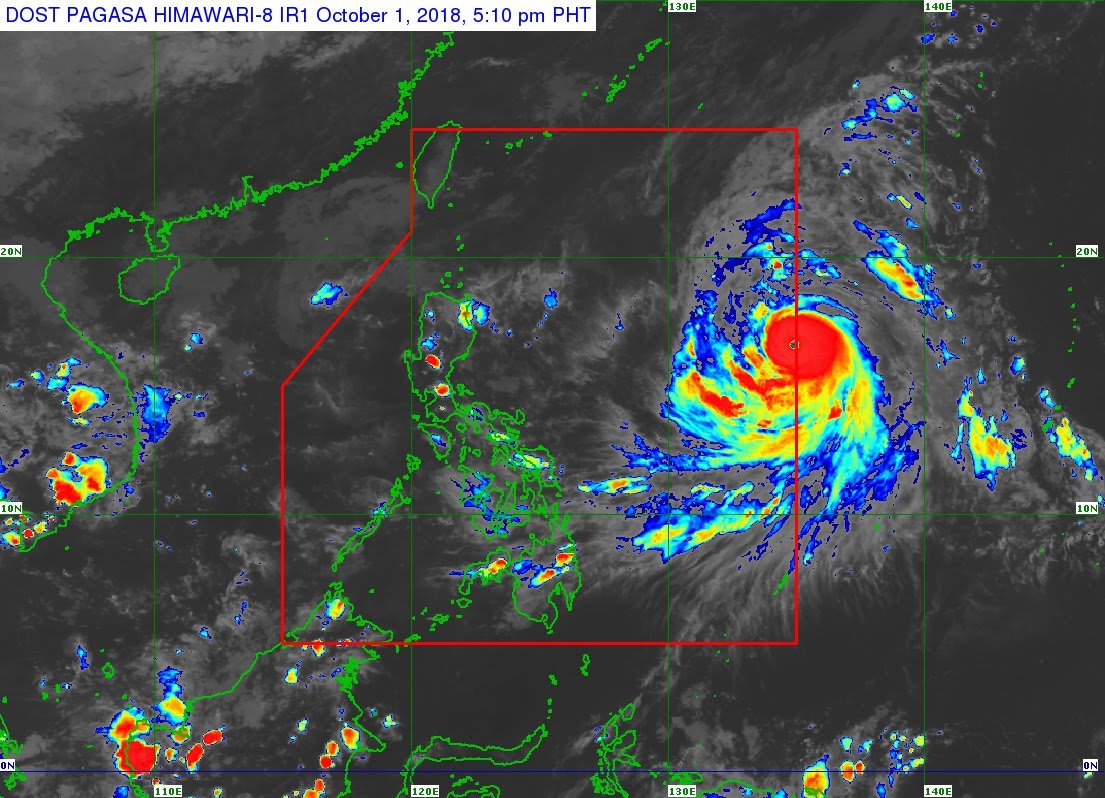
(Eagle News)—Typhoon “Queenie” entered the Philippine Area of Responsibility on Monday, Oct. 1, but is not expected to make landfall.
According to the Philippine Atmospheric Geophysical and Astronomical Services Administration, “Queenie” was last seen 1,385 kilometers east of Casiguran, Aurora, moving northwest at 15 kilometers per hour.
The eye of the typhoon is packing maximum sustained winds of 160 kilometers per hour near the center and gustiness of up to 195 kilometers per hour.
PAGASA said the typhoon’s trough is forecast to trigger light to moderate rain in Benguet, Nueva Vizcaya, Quirino, and Aurora until Thursday.
“Queenie” will be near the Calayan and the Babuyan Group of Islands from Wednesday, October 3, to Thursday, October 4, PAGASA said.
A gale warning has also been hoisted over Batanes, Calayan, the Babuyan Group of Islands, the northern coast of Cagayan, and the northern coast of Ilocos Norte.


