


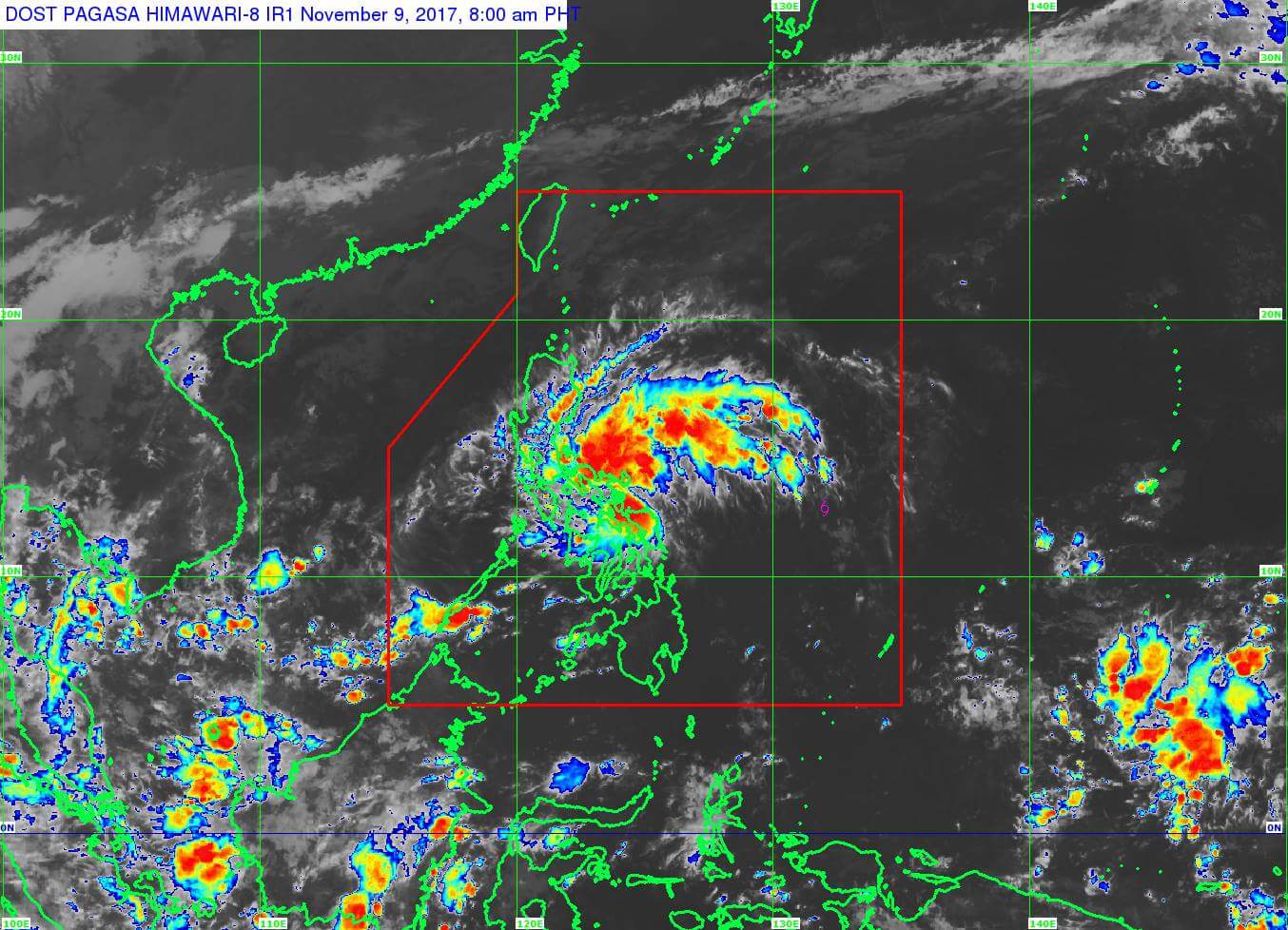
(Eagle News) — The low pressure area spotted east of Catarman, Northern Samar has developed into a tropical depression, the Philippine Atmospheric and Geophysical Services Administration said on Thursday.
In its 8 a.m. advisory, PAGASA said moderate to heavy rainfall is expected within the 200-kilometer diameter of Tropical Depression “Salome,” as the new weather disturbance is called.
The center of the tropical depression as of 7 a.m. is in the vicinity of Mondragon, Northern Samar, PAGASA said.
It is packing maximum sustained winds of 45 kilometers per hour near the center, and gustiness of up to 80 kilometers per hour.
Salome is expected to move west northwest at 25 kilometers per hour, and is expected to traverse Sibuyan sea today.
Signal Number one has been hoisted over Camarines Sur, Albay, Sorsogon, Masbate including Ticao and Burias Islands, Romblon, Marinduque, Southern Quezon, Laguna, Cavite, Batangas, Oriental Mindoro, Occidental Mindoro, Northern Samar, Eastern Samar, Samar and Leyte, including Biliran.
PAGASA advised residents in these areas and in the rest of Bicol Region, rest of CALABARZON, Metro Manila and the eastern section of Central Luzon to be alert against possible landslides and flashfloods.
Salome is expected to exit the Philippine Area of Responsibility by Saturday morning.


