


(Eagle News) — Typhoon “Maymay” is now outside the Philippine Area of Responsibility (PAR).
It has slightly weakened with maximum sustained winds of 180 kilometers per hour near the center and gustiness of up to 220 kph, down from its previous strength of 190 kph in maximum sustained winds and gusts of up to 230 kph.
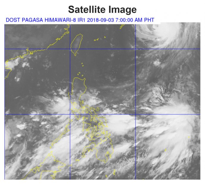
But PAGASA said that “Maymay” still continues to enhance the southwest monsoon.
“The typhoon has no direct effect in any part of the country. However, the Southwest Monsoon (Habagat) will bring scattered light to moderate to at times heavy rains over Metro Manila, Pangasinan, Central Luzon, CALABARZON, MIMAROPA, Bicol region and Zamboanga Peninsula,” it said in its 5 a.m. advisory.
“Residents in these areas, especially those living near river channels, in low-lying areas and in mountainous areas, are advised to take appropriate actions against possible flooding and landslides, coordinate with local disaster risk reduction and management offices, and to continue monitoring for updates.”
As of 4 a.m. today, the eye of Typhoon “MAYMAY” was located based on all available data at 1,340 km East Northeast of Basco, Batanes (OUTSIDE PAR) (25.8 °N, 133.7 °E), according to PAGASA.
(Eagle News Service)


