


(Eagle News) – Tropical Depression “Dodong” is not expected to make landfall and currently has no direct impact in the country. It is even expected to leave the Philippine Area of Responsibility (PAR) within the day.
With maximum sustained winds of 45 kilometers per hour near the center and gustiness of up to 60 kph, the tropical depression “slightly slowed down” as it moved generally northeastward Tuesday night.
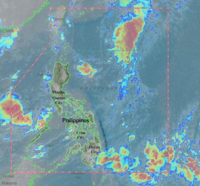
As of 3 a.m. Wednesday, June 26, the center of Tropical Depression “DODONG” was estimated based on all available data at 700 km East of Calayan, Cagayan (19.9 °N, 128.1 °E ).
It was moving northeast at 10 kph.
“The weather disturbance is not expected to make landfall and has no direct impact on any part of the country,” PAGASA said.
But forecasters said there would be “scattered rainshowers and thunderstorms over the western sections of Luzon and Visayas” brought by the Southwest Monsoon.
On Thursday, “monsoon rains may prevail over Metro Manila, Western Visayas and the western sections of Central Luzon, CALABARZON and MIMAROPA,” PAGASA said.
“Residents in these areas, especially those living in areas identified to be at high risk of flooding and landslides, are advised to continue monitoring for updates, take precautionary measures and coordinate with local disaster risk reduction and management offices,” it said.


