


(Eagle News) – Tropical depression “Goring” has maintained its strength as it continues to move northeastward and is expected to be outside the Philippine Area of Responsibility (PAR) later this evening, PAGASA said.
In the weather bulletin issued 5 p.m. Friday, the country’s weather bureau said that Goring “may exit” the country this evening.
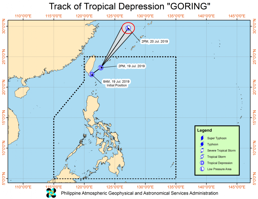
As of 4 p.m. Friday, the center of Tropical Depression “Goring” was estimated based on all available data at 380 km North Northeast of Basco, Batanes (23.7 °N, 123.1 °E ).
It is moving Northeast at 30 kilometers per hour. It has maximum sustained winds of 45 kph near the center and gustiness of up to 60 kph.
Tropical cyclone warning signal number 1 remains hoisted over Batanes, PAGASA said.
Moderate to at times heavy rains will still prevail over Batanes while light to moderate to at times heavy rains will be experienced over Ilocos Region and Babuyan Group of Islands, the weather bulletin said.
By tomorrow afternoon, it is expected to be 1,155 km North Northeast of Basco, Batanes which is already outside the Philippine Area of Responsibility (PAR).


