


(Eagle News) — “Maring” has intensified into a severe tropical storm as it moves westward towards Babuyan Islands, with nine provinces in Northern Luzon placed under signal number 2, according to PAGASA.
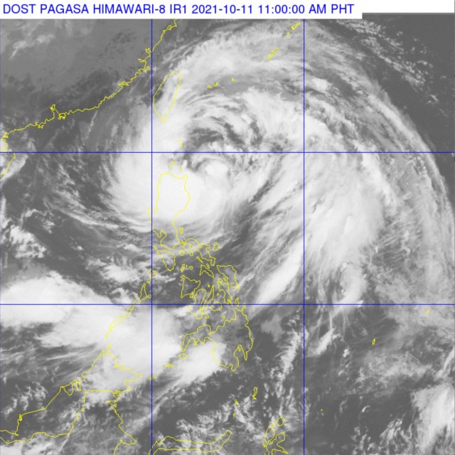
As of 10 a.m., the center of Severe Tropical Storm “MARING” was estimated at 240 km East of Aparri, Cagayan or 265 km East Southeast of Calayan, Cagayan (18.7°N, 123.9°E). It has maximum sustained winds of 95 km/h near the center and gustiness of up to 115 km/h.
PAGASA said the following areas are under tropical cyclone wind signal no. 2:
Batanes, Cagayan including Babuyan Islands, the northern portion of Isabela (Palanan, Divilacan, Maconacon, Ilagan City, Tumauini, Cabagan, San Pablo, Santa Maria, Santo Tomas, Delfin Albano, Quirino, Gamu, Roxas, Mallig, Quezon), Apayao, Kalinga, Mountain Province, Abra, Ilocos Norte, and Ilocos Sur.
These areas are under signal no. 1:
The rest of Isabela, Nueva Vizcaya, Quirino, Ifugao, Benguet, La Union, Pangasinan, Aurora, Nueva Ecija, Tarlac, Zambales, Pampanga, Bulacan, the northern portion of Bataan (Samal, Morong, Dinalupihan, Abucay, Orani, Hermosa), the northern portion of Quezon (General Nakar, Infanta) including Polillo Islands, and Calaguas Islands
In its 11 a.m. bulletin on Monday, Oct. 10, PAGASA said that moderate to heavy with at times intense rains are highly likely over Batanes, Cagayan including Babuyan Islands, Cordillera Administrative Region, and Ilocos Region.
Light to moderate with at times heavy rains are also possible over Central Luzon and the rest of Cagayan Valley. Under these conditions, scattered flash floods and rain-induced landslides are highly likely especially in areas that are highly or very highly susceptible to these hazard as identified in hazard maps.
Under the influence of the Southwest Monsoon enhanced by Severe Tropical Storm “MARING”, monsoon rains are possible over Visayas, Zamboanga Peninsula, Palawan, Occidental Mindoro, and Oriental Mindoro in the next 24 hours.
“Due to the expansive wind field of “MARING” and the enhanced Southwest Monsoon, occasional gusts reaching strong to galeforce in strength are possible over the island, coastal, and upland/mountain localities of Visayas, Dinagat Islands, Surigao del Norte, Agusan del Norte, Misamis Oriental, Misamis Occidental, Camiguin, Zamboanga del Norte, and the rest of Luzon,” PAGASA added.
(Eagle News Service)


