


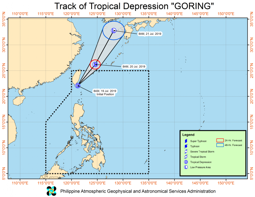
(Eagle News) – The low pressure area that has earlier exited the Philippine Area of Responsibility has re-entered the county as a tropical depression, and is named “Goreng.”
PAGASA said that as of 10 a.m., the center of tropical depression Goreng was estimated based on all available data at 190 km North Northwest of Basco, Batanes.
Tropical cyclone warning signal number1 is now raised over Batanes.
Goreng has maximum sustained winds of 45 kilometers per hour near the center and gustiness of up to 60 kph.
It is moving northeast at 30 kph, and is again expected to exit the country by tonight or tomorrow morning.
Moderate to at times heavy rains will prevail over Batanes today, Friday, while light to moderate to at times heavy rains will be experienced over Ilocos Region and Babuyan Group of Islands.
“Residents in the aforementioned areas, especially those living in areas identified to be at risk of flooding and landslides, are advised to take precautionary measures,” PAGASA said in its latest weather bulletin.
It said sea travel is risky over the seaboards of areas under cyclone warning signal, and that the seaboards of Northern Luzon, and the western seaboard of Central Luzon.


