

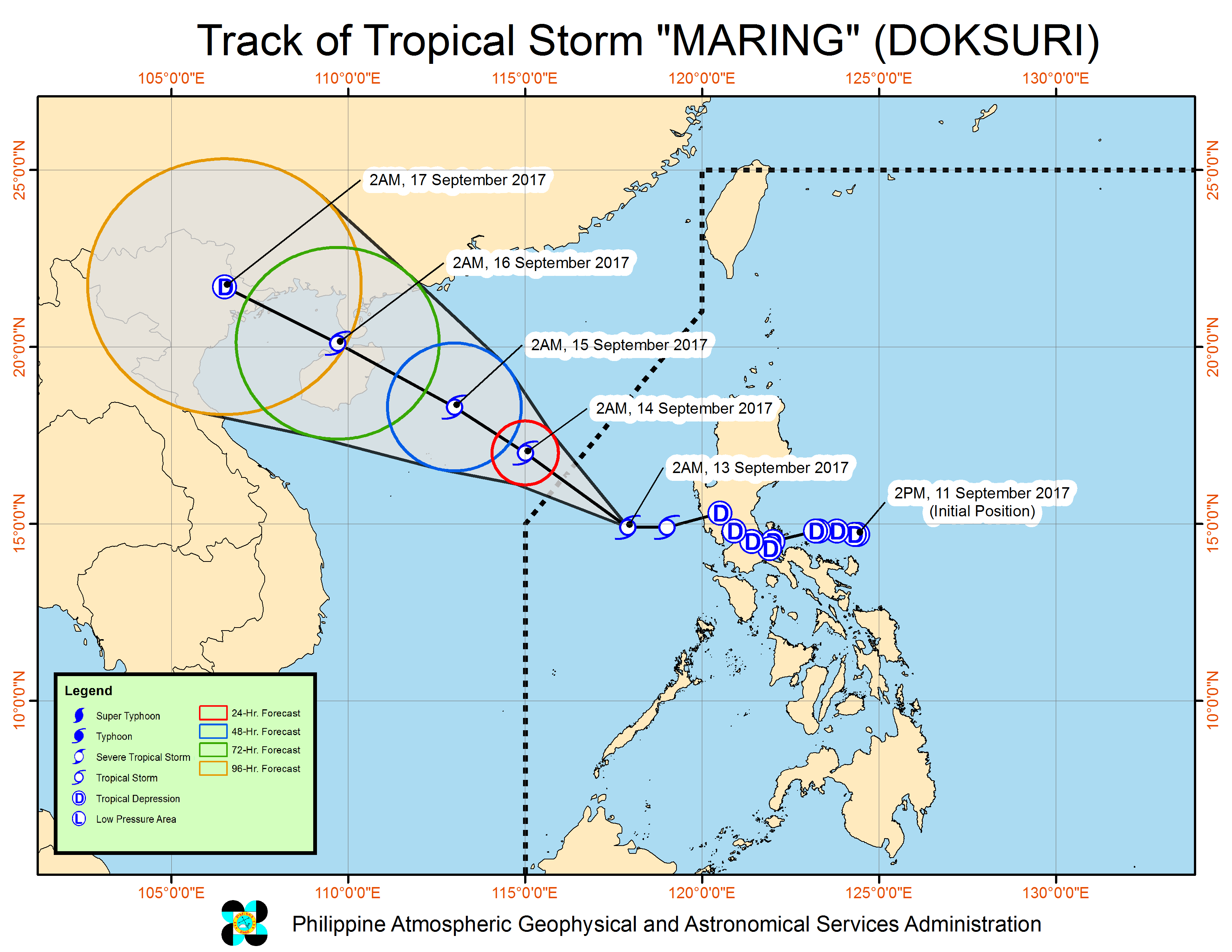
(Eagle News) – Tropical Storm “Maring” is now traversing the West Philippine Sea and is expected to leave the Philippine Area of Responsibility (PAR) tonight.
All storm warning signals have been lifted by the country’s weather bureau, PAGASA, as “Maring” continues to move away at a west northwest direction at 15 kilometers per hour.
Maring has maintained its strength with maximum sustained winds of 75 kilometers per hour near the center and gustiness of up to 90 kph.
At 3:00 am today, Sept. 13, the center of Tropical Storm “Maring”was estimated based on all available data at 250 km West of Iba, Zambales(14.9N, 117.7E)
Risky sea travel, possible landslides, flashfloods
But PAGASA warned that sea travel remains risky over the western seaboard of Central and Southern Luzon due to TS “Maring.”
It also warned of “possible landslide and flashfloods” especially in Bataan, Zambales and Batangas where forecasters said would have light to moderate with occasionally heavy rains during thunderstorms.
Meanwhile,At 3:00 am today,the eye of Typhoon “Lannie” was located based on all available data at 610 km Northeast of Basco, Batanes (23.7N, 126.7E) with maximum sustained winds of 125 km/h near the center and gustiness of up to 155 km/h. It is forecast to move West Northwest at 22 km/h.
(Eagle News Service)


