

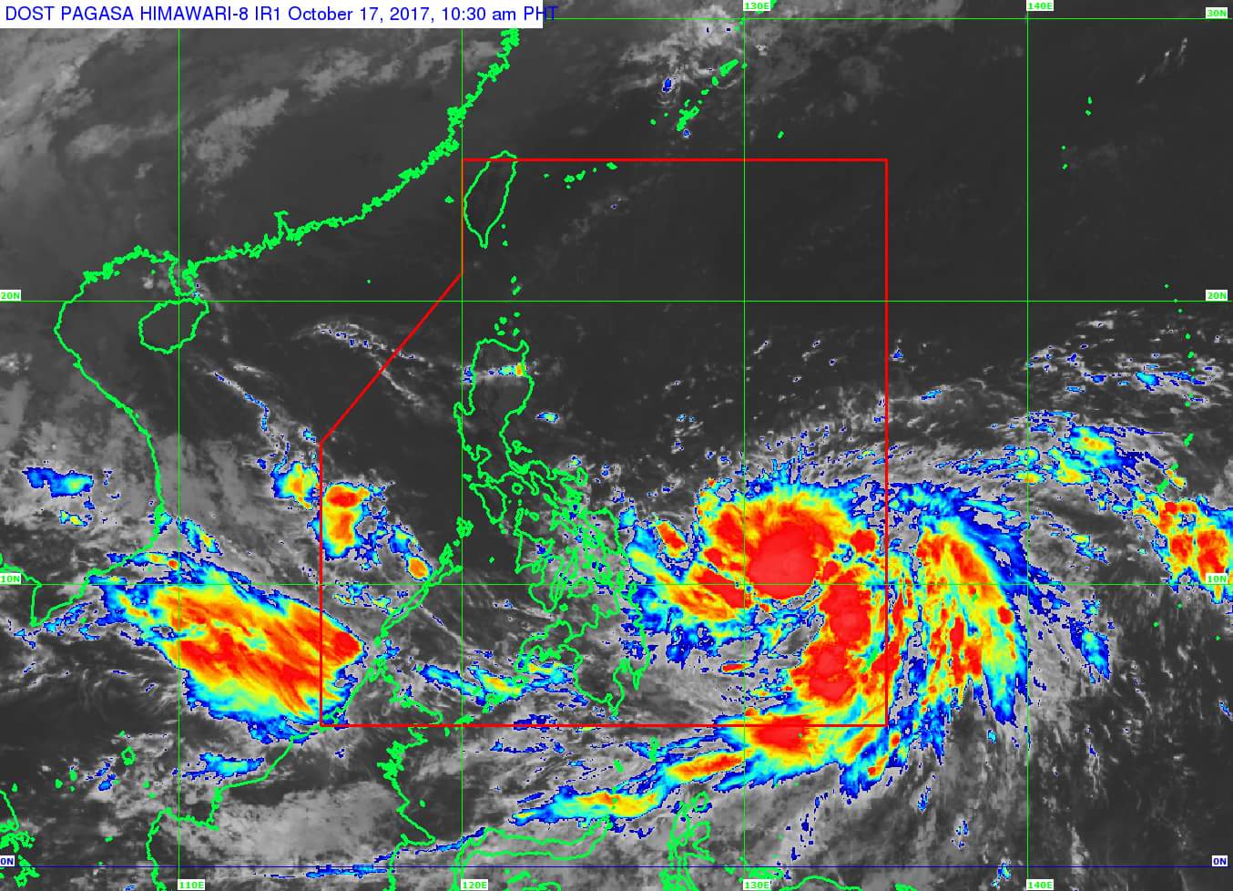
(Eagle News) — “Paolo” has intensified into a severe tropical storm as it continued to move over the Philippine Sea on Tuesday.
Apart from “Paolo,” whose eye was located 765 kilometers east of Guian, eastern Samar as of 10 a.m., the Philippine Atmospheric, Geophysical and Astronomical Services Administration is monitoring a low pressure area found 395 kilometers west of Coron, Palawan.
Moderate to heavy rains are expected within the 450-kilometer diameter of “Paolo,” with light to moderate, and occasional heavy rains expected in its outer rainbands: Bicol Region, Visayas and Mindanao.
Scattered light to moderate, with possible occasional heavy rains, are also expected over Palawan because of the LPA.
So far, “Paolo” is packing maximum sustained winds of 90 kilometers per hour near the center, and gustiness of up to 115 kilometers per hour.
It is forecast to move north northwest, at 7 kilometers per hour.
On Sunday morning, “Paolo” is expected to exit the Philippine area of responsibility.


