

(Eagle News) — The Philippine Atmospheric Geophysical and Astronomical Services Administration is monitoring a tropical depression outside the Philippine Area of Responsibility.
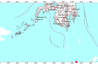
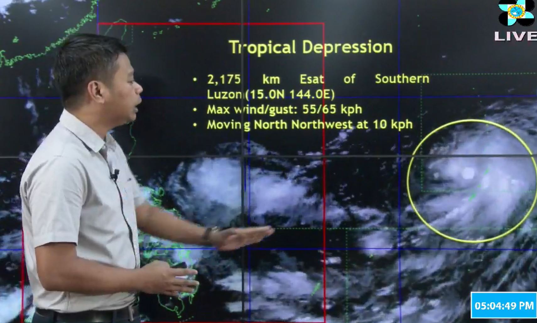
PAGASA said that as of 4 p.m., the weather disturbance was located 2,175 kilometers east of southern Luzon.
The eye of the tropical depression is packing maximum sustained winds of 55 kilometers per hour near the center and gustiness of up to 65 kilometers per hour.
The weather disturbance is moving north northwest at 10 kilometers per hour, and may enter the Philippine Area of Responsibility on Sunday, Sept. 23 onwards.
If it enters PAR, the weather disturbance will be called “Paeng.”
As it is, PAGASA said parts of the country—Southern Luzon, Visayas and Mindanao– were being affected by the Intertropical Convergence Zone.
MIMAROPA, CALABARZON, Bicol Region, Visayas, Zamboanga Peninsula, Northern Mindanao and CARAGA are expected to experience cloudy skies with scattered rainshowers and thunderstorms as a result.


