


(Eagle News) — The Philippine Atmospheric, Geophysical and Astronomical Services Administration has cancelled the storm signal in Batanes, as Tropical Depression “Ester” prepares to leave the Philippine Area of Responsibility.
In a 5 a.m. advisory, Pagasa said “Ester” was expected to leave PAR tonight or on Saturday morning.
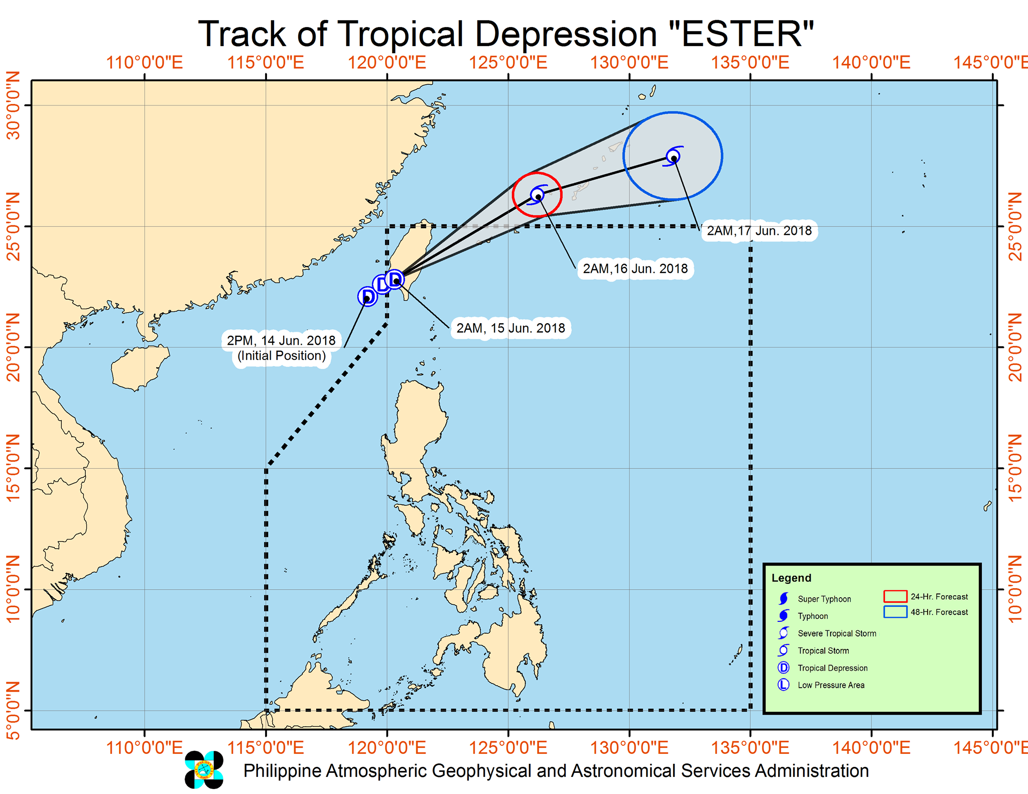
So far, the weather agency said “Ester” was 320 kilometers north northwest of Basco, Batanes, packing maximum sustained winds of 55 kilometers per hour near the center, and gustiness of up to 90 kilometers per hour.
It is moving in a northeast direction at 13 kilometers per hour.
The southwest monsoon enhanced by TD “Ester” will, however, continue to
bring monsoon rains over Batanes, Babuyan Group of Islands, Ilocos Region, Cordillera Administrative Region, Tarlac, Pampanga, Zambales and Bataan; and light to moderate with at times heavy rains over Metro Manila, Calabarzon, Mimaropa and the rest of the Cagayan Valley and of Central Luzon.
A gale warning signal is up over the northern seaboard of northern Luzon and over the western seaboard of Central Luzon, particularly over Batanes, Calayan, Babuyan Group of Islands, Cagayan, Ilocos province, Isabela, La Union, Pangasinan, Zambales, Bataan and Isabela, which means sea travel is risky in those areas.


